
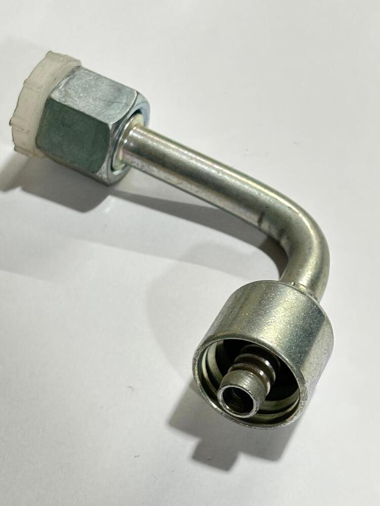
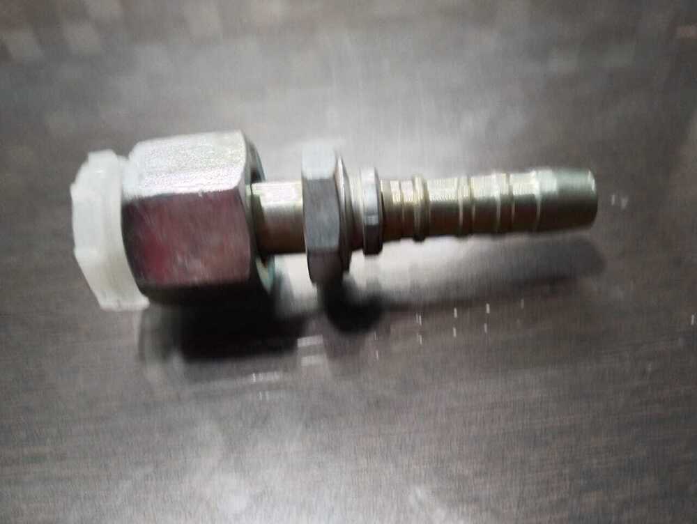
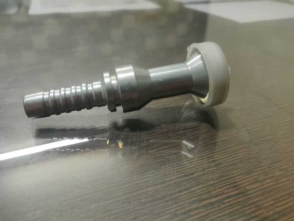
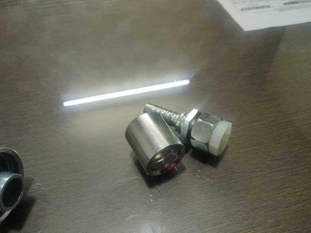
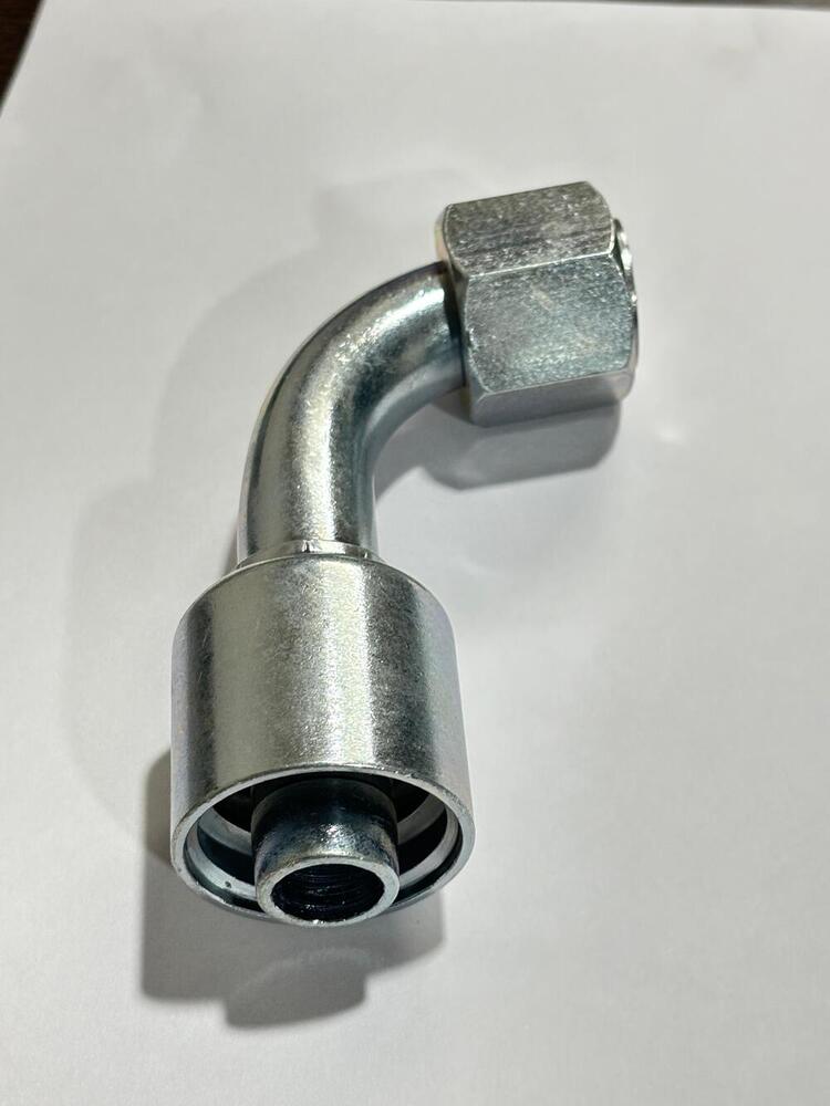
Orfs Bend Set
55 INR/Piece
Product Details:
- Product Type bend fitting
- Application Electrical Industry
- Protection Level IP65
- Color Silver
- Weight 30 Grams (g)
- Warranty Yes
- Size 1 Inch, 2 Inch, 3 Inch
- Click to View more
X
Orfs Bend Set Price And Quantity
- 60.00 - 60.00 INR/Piece
- 55 INR/Piece
- 100 Piece
Orfs Bend Set Product Specifications
- Silver
- IP65
- 30 Grams (g)
- Yes
- 1 Inch, 2 Inch, 3 Inch
- bend fitting
- Stainless Steel
- Electrical Industry
Orfs Bend Set Trade Information
- Yes
- All India
Product Description
It is included in GeoTiff metadata. If you use the command "gdalinfo -norat *.tif", it will return the description of each band in your image. I have tested this on a Landsat 8 image and it returns the band names that I have set (e.g. "Red", "Green", "Blue", "NIR") instead of just Band1, Band2, Band3, Band4...etc.user6747353
Apr 14, 2018 at 10:59Tell us about your requirement

Price:
Quantity
Select Unit
- 50
- 100
- 200
- 250
- 500
- 1000+
Additional detail
Mobile number
Email

Other Products in 'fittings' category
Contact Details
- No. 38, Sector-1, DSIDC, Industrial Area,Delhi - 110039, India
- Phone : 08071793774
- Mr Chiranjeev Talwar (Proprietor)
- Mobile : 08071793774
-
 Send Inquiry
Atul Hose and Engg Co.
GST : 07AADPT4053H1ZO
GST : 07AADPT4053H1ZO

Atul Hose and Engg Co.
All Rights Reserved.(Terms of Use)
Developed and Managed by Infocom Network Private Limited.
Developed and Managed by Infocom Network Private Limited.

